
Are you looking for things to do in Tavush? A Tavush daytrip is a perfect idea from Yerevan, there are SO many hidden gems and a daytrip out to see a few monasteries and a fortress is so worth it, I learnt so much on this trip including some issues around the Armenian/Azeri border they have to this day
This was my first time with One Way Tours, I wanted to see what they were like, even though I was hoping I would return considering the name of the tour company… but I liked the idea of their tours and the prices were decent and I wanted to try a tour made mostly for Armenians (there are 2 prices for yours, Armenian speaking guide is cheaper than English)
https://onewaytour.com/group-tours/varagavank
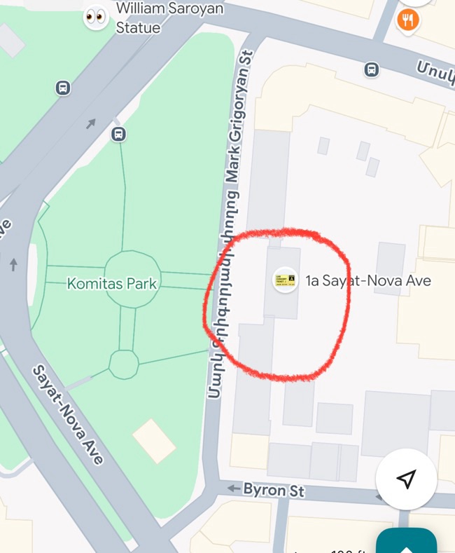
TAVUSH REGION
We were heading into the Tavush Region, Northeast of Armenia bordered by Georgia north and Azeri from the east
This was the first tour back for the company from winter hibernation so it was exciting for all!
Our driver was Garik and our guide was Tamara – our group was made up of mostly Yerevantzi’s, a Swiss lady, 2 Russians and ME! The tour was in Armenian but Tamara did translate for the Swiss lady
We left at 7am and the bus was totally full
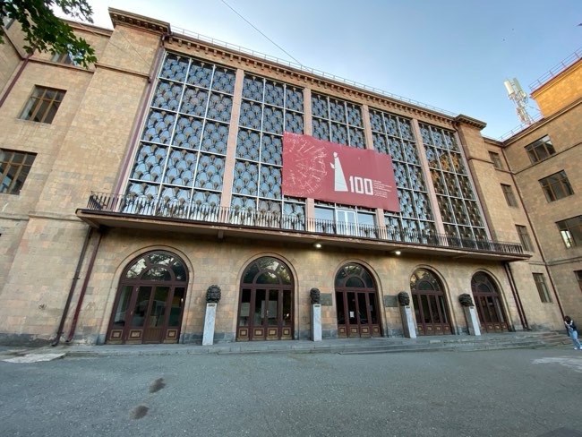
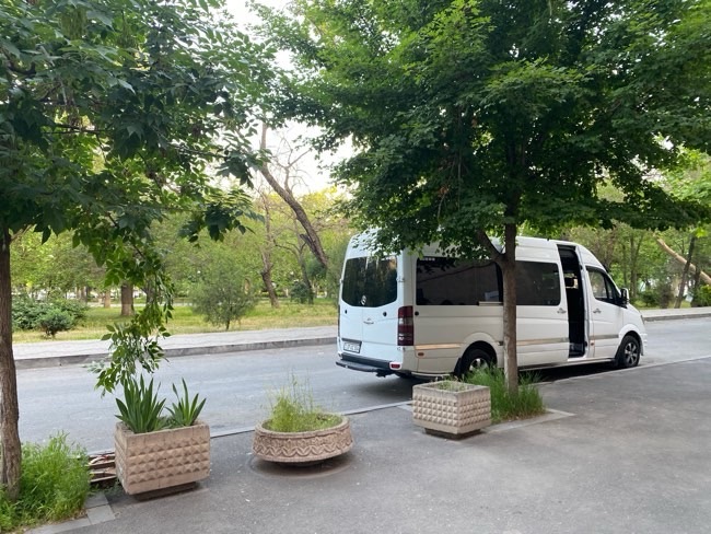
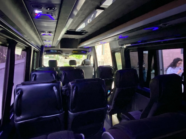
We got to choose our seats according who showed up first – I sat all the way at the back which is my favourite spot usually
And we’re off!
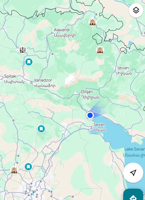
We had a 40min drive up towards Lake Sevan for our first stop which would be breakfast at around 9am
We would end up being back to yerevan 9pm so its a LONNGGG day of driving
REST STOP
he stop was Tsovagyugh Service stop right near the north west end of Lake Sevan
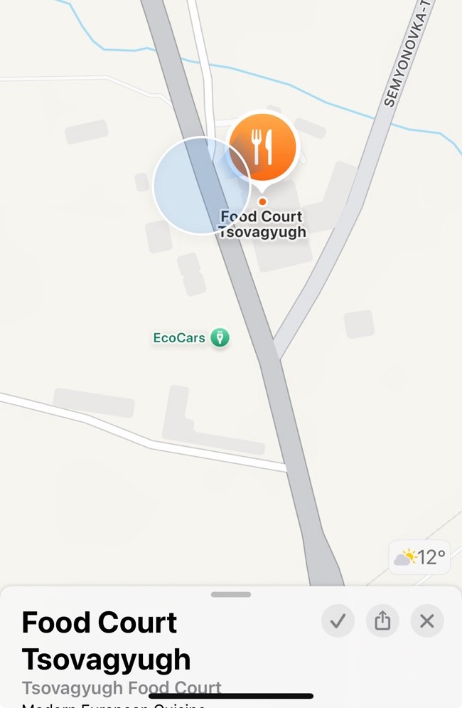
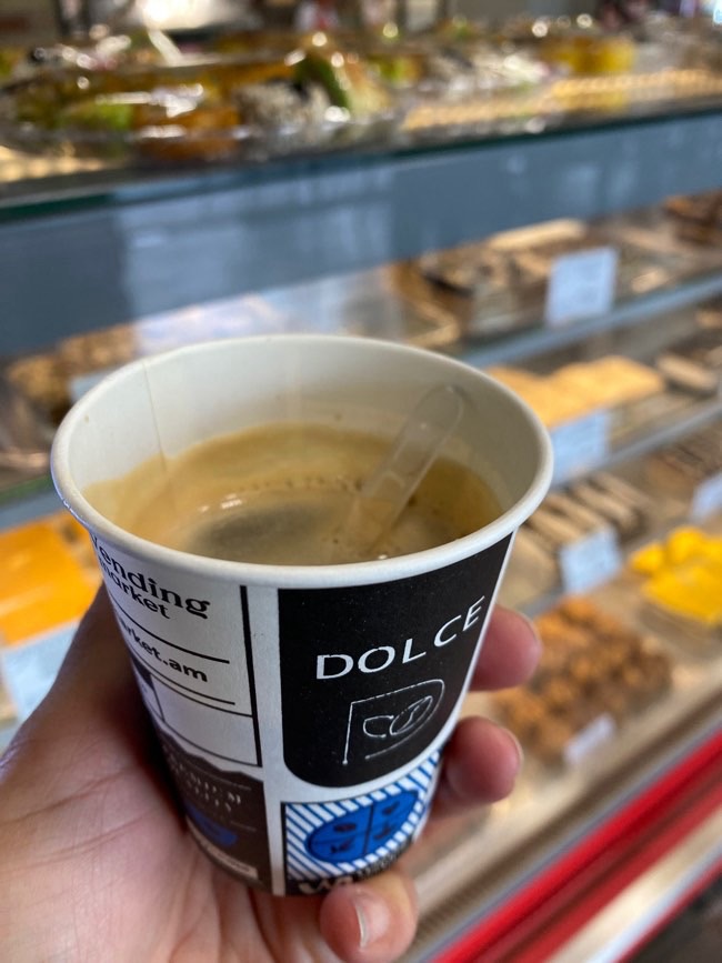
Had to have an americano coffee from a machine as the cafe wasn’t open, cost me 100 AMD (cheap!) and hit the spot!
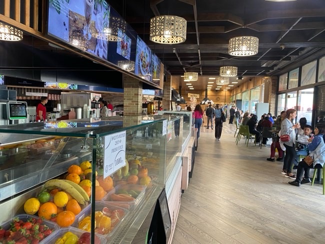
The service centre was filled with people already starting their own adventures around Armenia
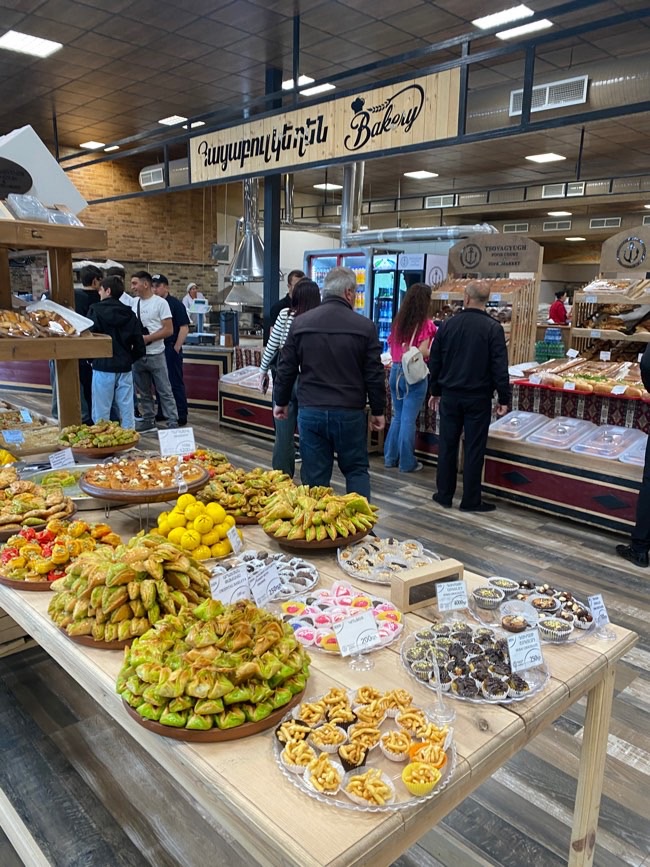
They had so many sweets and I bought a fruit and nut gata made there so had to buy it! I love gata! Freshly made?? Even better! 1400 AMD so worth every dram
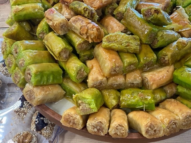
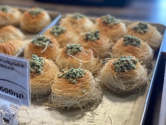
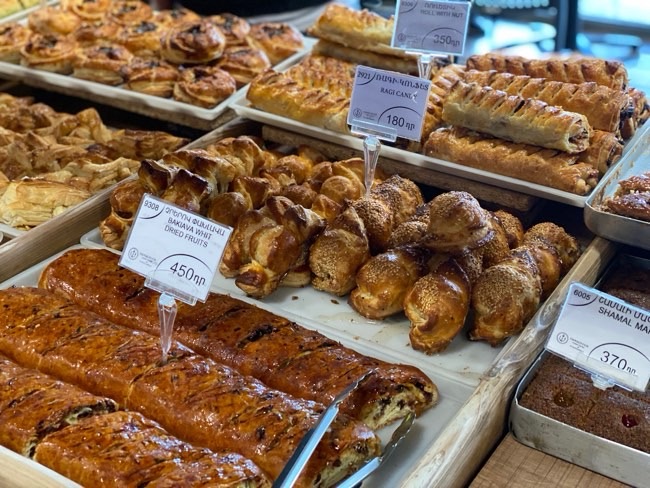
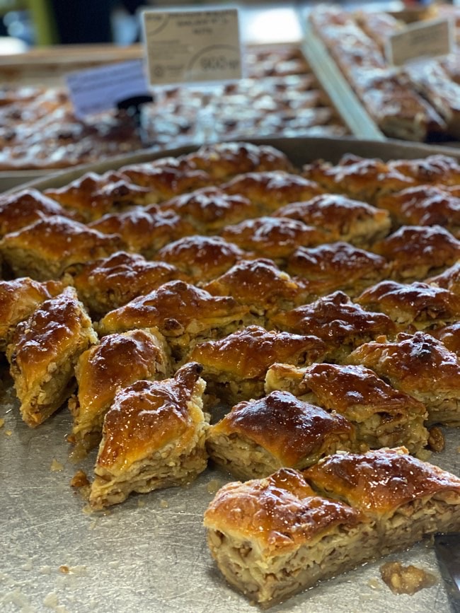
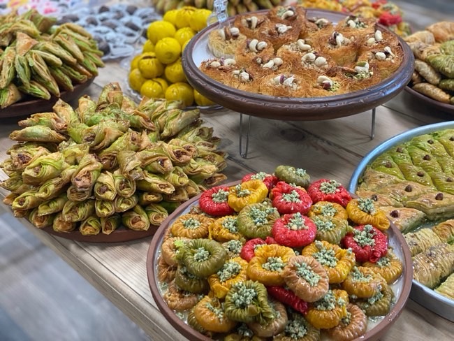
Check out all these awesome woggy sweets! yum!!! There were arabic sweets as well as Armenian and other types of chocolates etc, even the famous Dubai chocolate with the pistachios
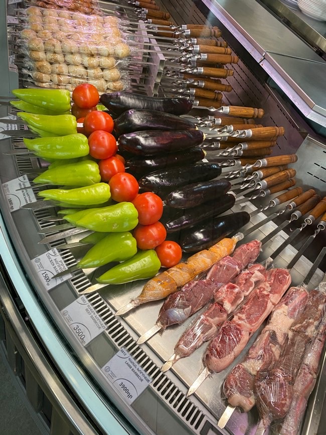
There was a lunch area as well which was getting ready to open, and as we left around 8:30 it opened up and people were already lining up to eat
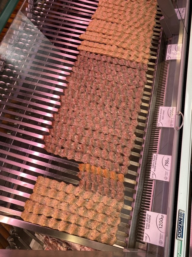
The meat all ready to be cooked and eaten
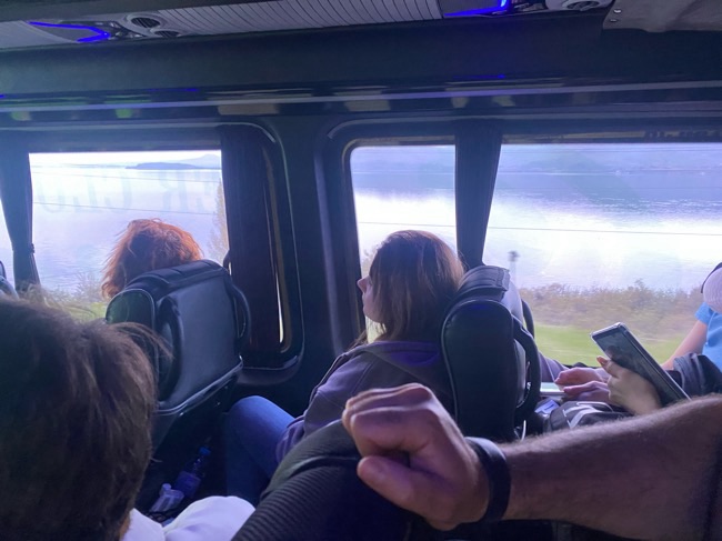
So, we had 2hrs to the next stop – we passed by Lake Sevan for a while, I was on the other side of the bus so didn’t get quite the view I wanted but here’s some of its water LOL
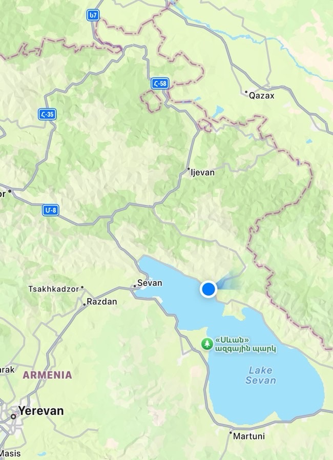
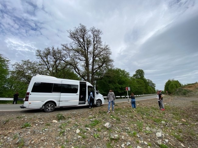
Passed lake sevan north east side and had a rest stop along the side of the road
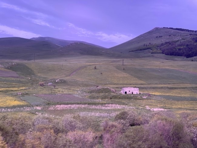
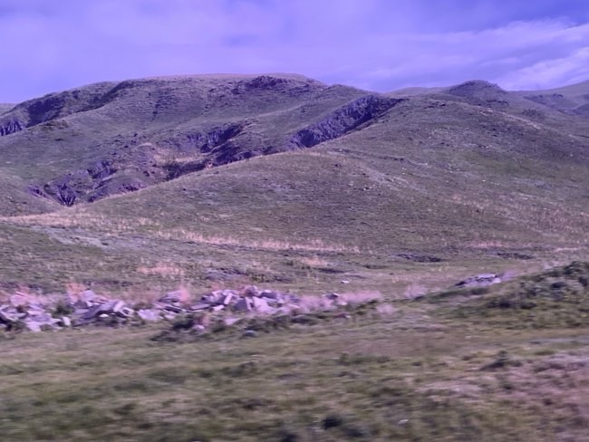
Cloudy but a beautiful day with the mountains shining beautifully in the sun that shines through
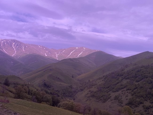
Passed champarak – little town with old houses, its the capital of Gegharkunik Province (125km from Yerevan) and 1km from the border of Azerbaijian
By this time its 9:30am, we driving on really windy roads! Its quite interesting as we are on old roads and passing mountains closest to Azeri lands, around 2400-2500m above sea level
Pot holes everywhere, its like the old roads before they were fix, red soil
GHUZANI QAR (stone)
A 5km walk from Chinchin Village, we parked the bus and started our easy walk to the view -> Ghuzani Qar
Legend has it that this massive rock earned its name from a courageous young girl named Ruzan. Faced with the threat of being captured by a Persian Shah, Ruzan chose to climb this towering rock and, rather than surrender, leaped from the cliff. In her memory, the rock was forever named Ghuzani Qar, honoring the bravery of Ruzan
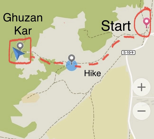
Walking to the view, we walked along a beaten track towards the trees
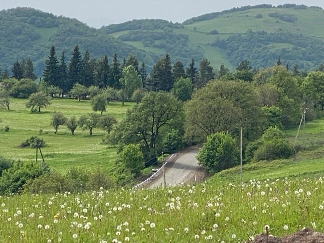
It was SUCH a beautiful walk and I took my time enjoying the flowers and the greenery, I loved the undulating hills in this area
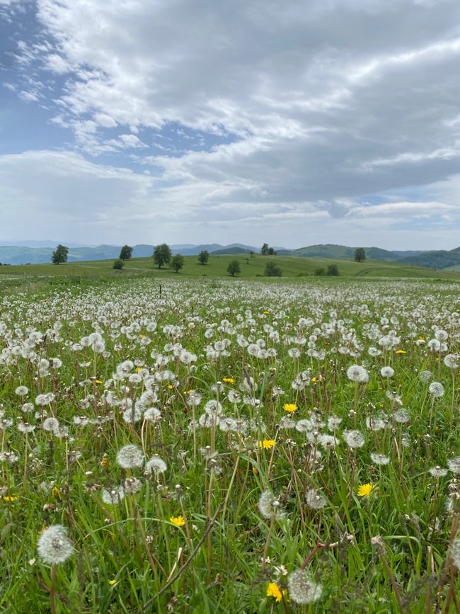
The fields were full of flowers and birds twittering and flying around
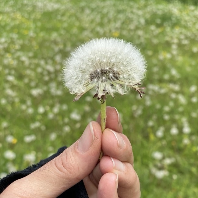
MAKE A WISH!!! The white dandelions were all around the field giving it a surreal feel with fluffs of white everywhere – I definitely made one 😀
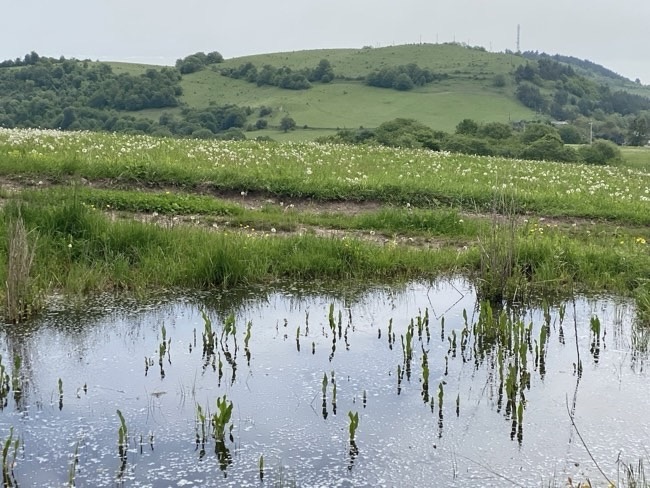
We started our walk around 10:30-45 and finished our leisurely hike around 12pm
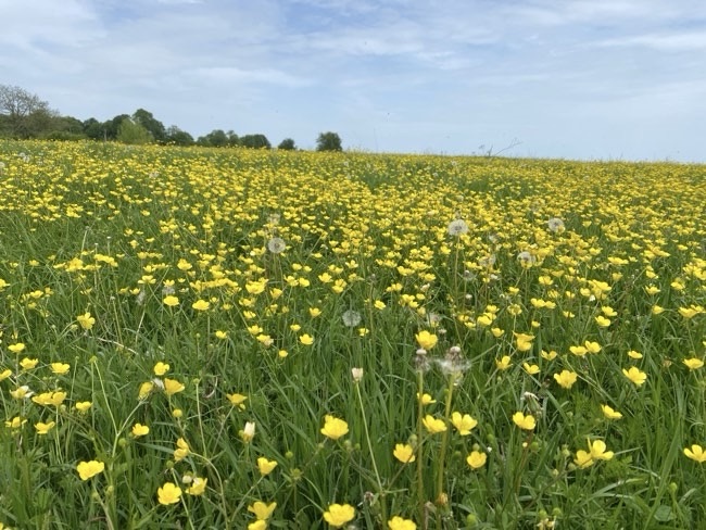
There were these cute little yellow flowers blooming in other areas of the fields
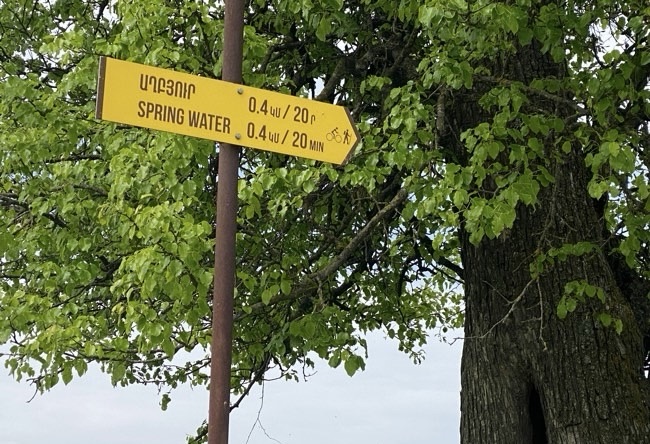
Easily marked and signed area all organised for hikers to the region
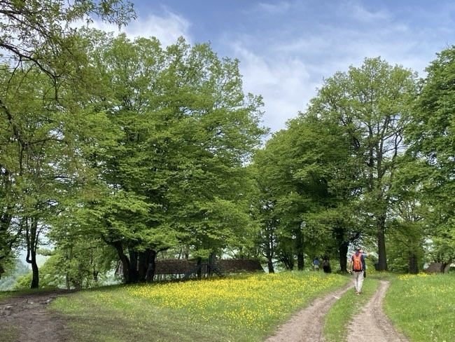
We hiked up to the massive rock 200m high and with breaktaking views – the wilderness here is beautiful and surrounded by ancient legend
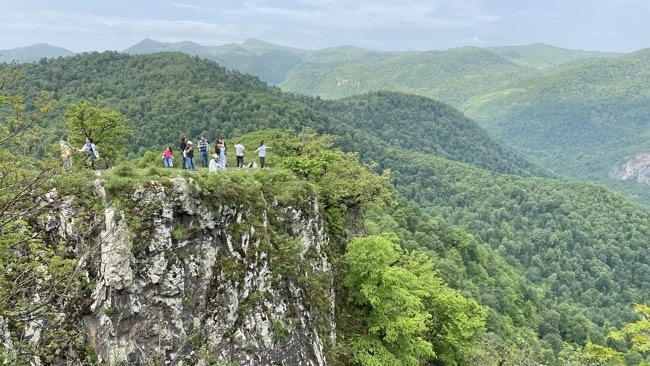
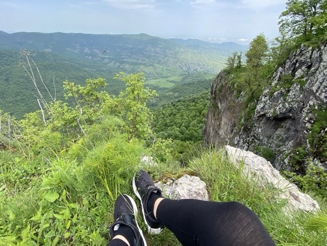
The drop was so steep and Im just not used to there being no barriers or signs, its actually quite refreshing as people here use their common sense and stay back from the edge, its literally the end if you’re not careful…
We spent some time here enjoying the energy of the mountains and hills and taking in deep breaths of the fresh air! It’s good to be ALIVE! Born to be alive!
… AND WE CONTINUE….
It was a 20min drive to our next stop
Passed Navir village – driver stopped looked at tire
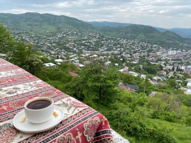
Berd – 10000 people many schools – military base here and they live here with their families – only 1 building which is 9th floor everything else is lower
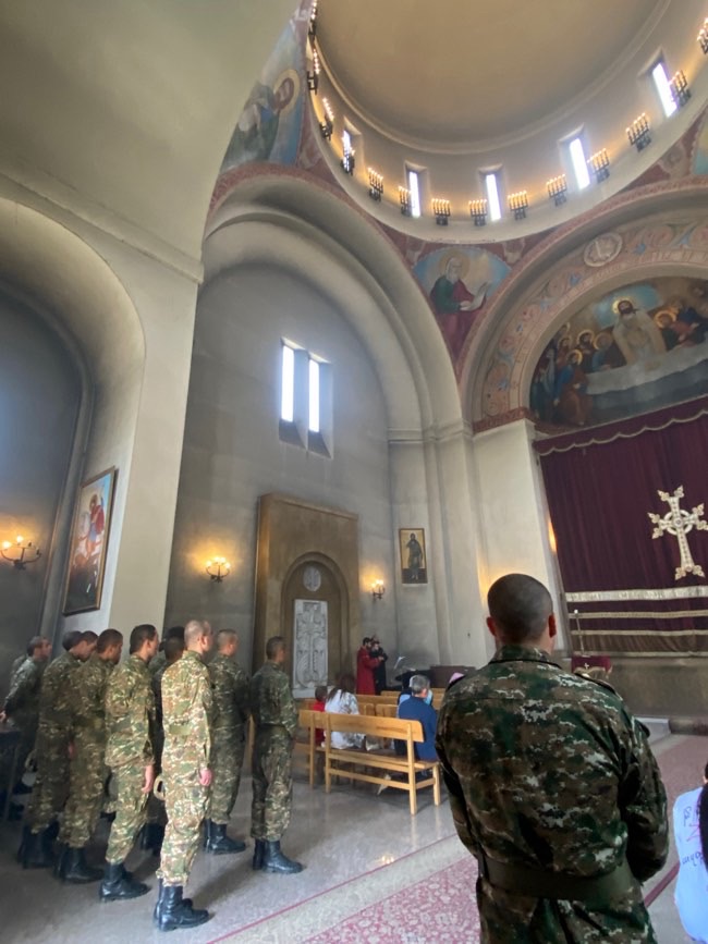
HOVHANNES CHURCH
The original Havhannes church was apparently destroyed by soviet authorities in the 1920’s
The construction of this church was made possible by a $1 million financial contribution from John D. Stephens, a benefactor from Fresno, California
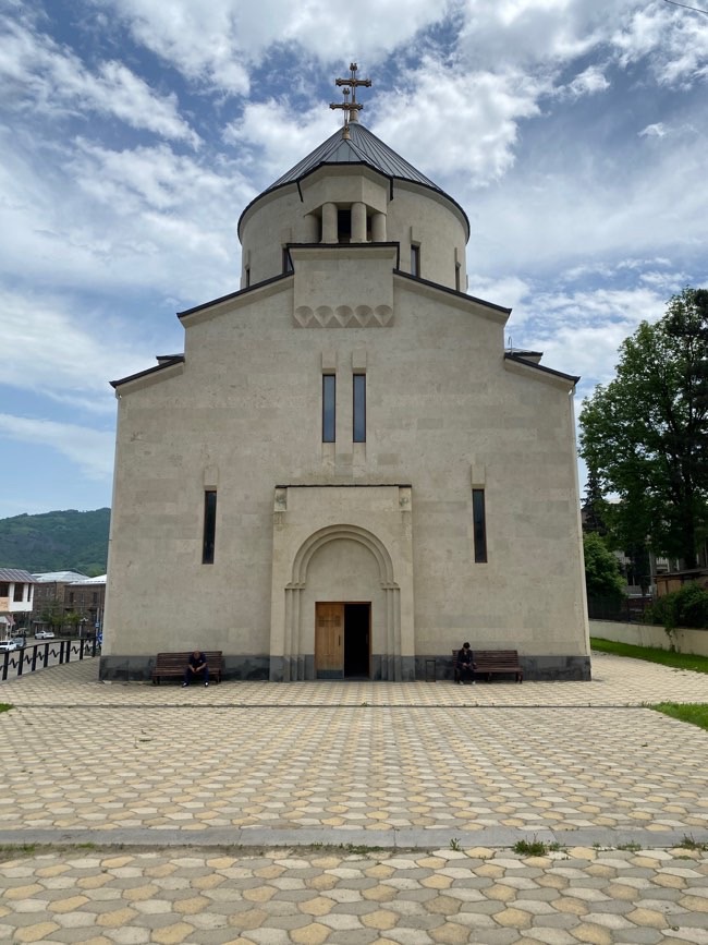
A service was in session when we got there, Berd is a town mainly created for the service men that served around this area and their families
TAVUSH FORTRESS
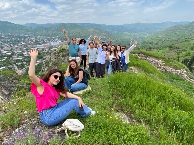
Interested in climbing an ancient fortress? – climbed up and had a coffee with some of the group! Lovely lady brought it with her in a flask, i like that idea so much i think ill do it in the future!
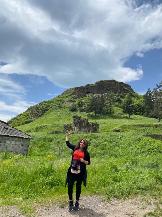
There is an upper citadel and a larger lower fortress beneath it
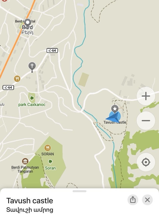
The modern town of Berd takes its name from this fortress, Berd simply means fortress
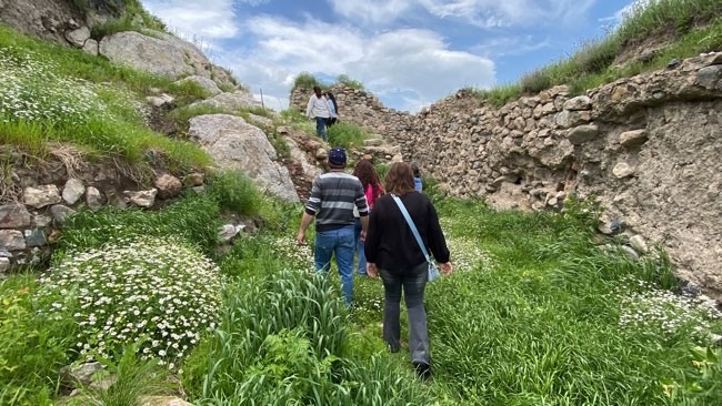
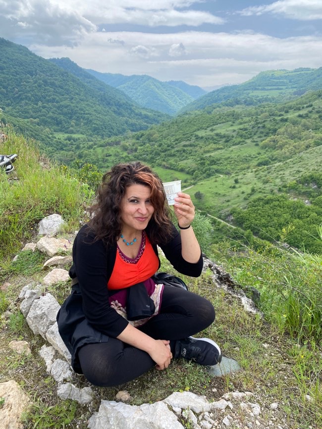
nothing to stop us falling off the edge it was really high up and freeing, we were literally sitting on the edge of the mointain ruin
There are no surviving foundation inscription which gives its construction date
They do mention that it could have been constructed during the reign of King Smbat I Bagratuni between 9th-10th c.
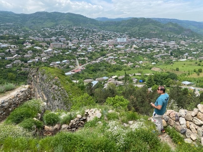
This citadel occupied this narrow rocky summit above the Tavush river, steep in many places along each side was a deep drop, walls and semi circular defensive towers guard the more accessible approaches
Botantical gardens and lunch 1-5hrs (2pm) until 3:30pm
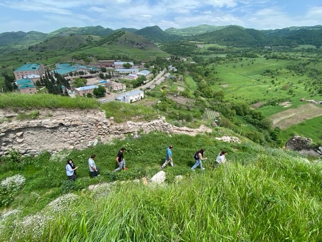
The fortress had its own water supply system, there was a reservoir and sections of clay water pipes
We had a 50min drive and headed to the Museum
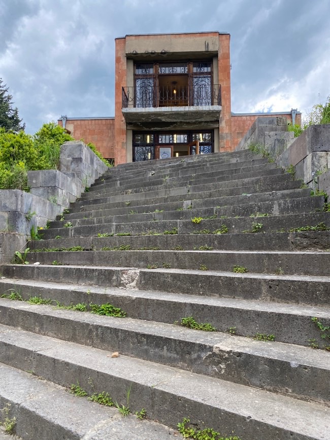
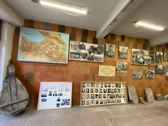
BERD MUSEUM OF HISTORY & LIFE
Around 3:45-4:15pm we got there
A small local museum built in the 1980’s, explaining the fortress and traditional life of the surrounding region
DENDROPARK
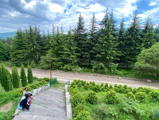
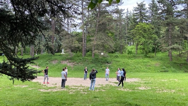
We had a nice break and lunch when we got to the botianical gardens and had a beautiful view over Berd from the restaurant there

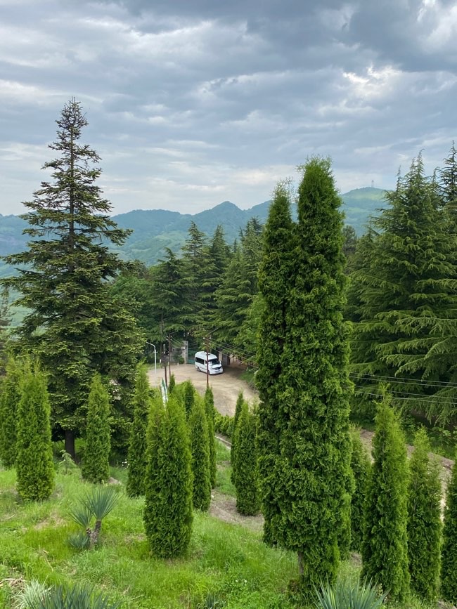
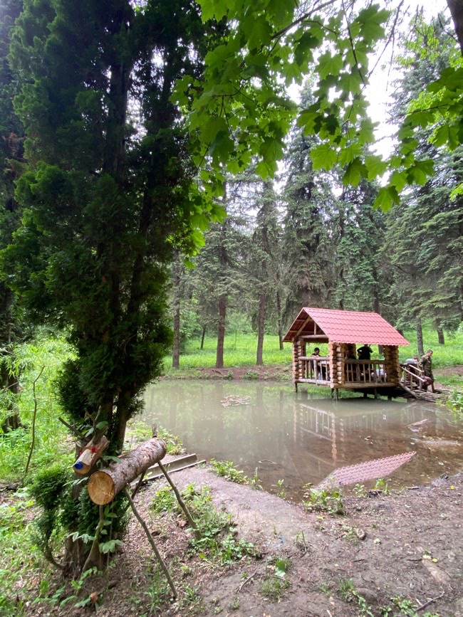
We passed by the little village of Varakavank to get to Nor varakavank
Really loved this place! Had a magical feel to it – loved exploring
NOR VARAGAVANK
Where the fragment of the True Cross was guarded
This monastery is one of Tavush’s most interesting medieval monasteries and its hidden among the forested hills near Varagavan Village
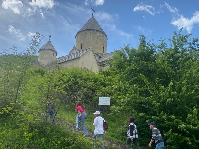
Founded by Prince David Kyurikian a member of Kyurikian dynasty, a junior branch of Armenia’s Bagratuni royal family
This wasn’t originally called Nor Varagavank. It was called Anapat — the hermitage
Its new name came from another Armenian monastery hundreds of kilometres away near Lake Van. When that monastery was threatened in the 13th century, sacred relics associated with the True Cross were carried east for protection and brought here. From then on, this became Nor Varagavank — the New Varagavank.
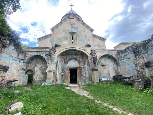
It is decorated with mosaic-style dark purple, light blue stones with a star, a hexagon or a diagonal egg. Zodiac and plant ornaments are carved on the stones, which is unusual for a medieval Armenian church
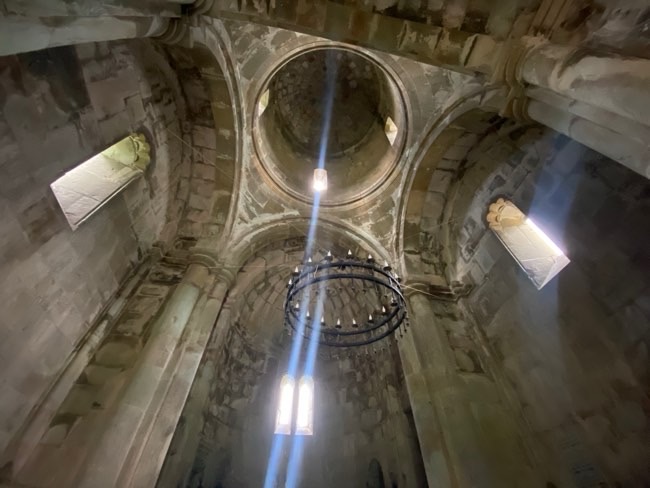
The building has interesting architecture and appears rectangular from the outside but has a cross shaped interior on the inside
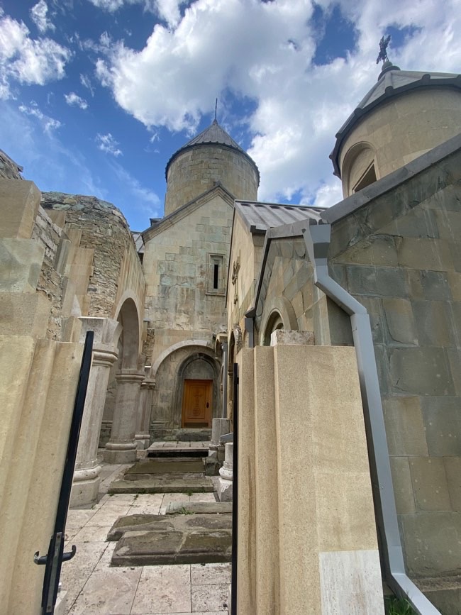
This vank was very important as it became an ecclesiastical centre and bishopric
It was a monastery, pilgrimage site, dynastic burial place and how to an important christian relic
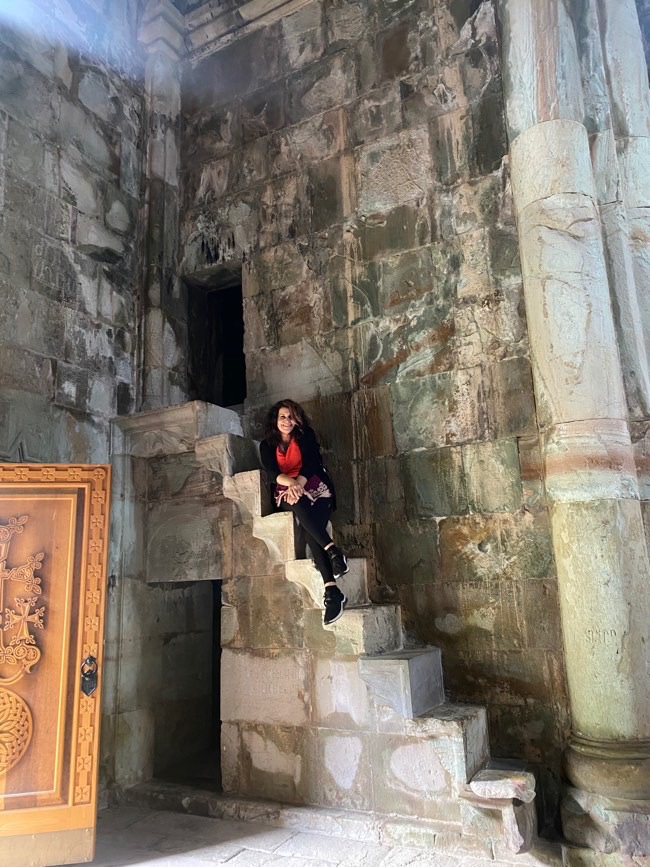
I remember going to Varagavank when I went to Western Armenia in 2015
It was situated in a very small dirt village nearby to lake Van and the church was so run down and in ruins, was sad to see a church like that
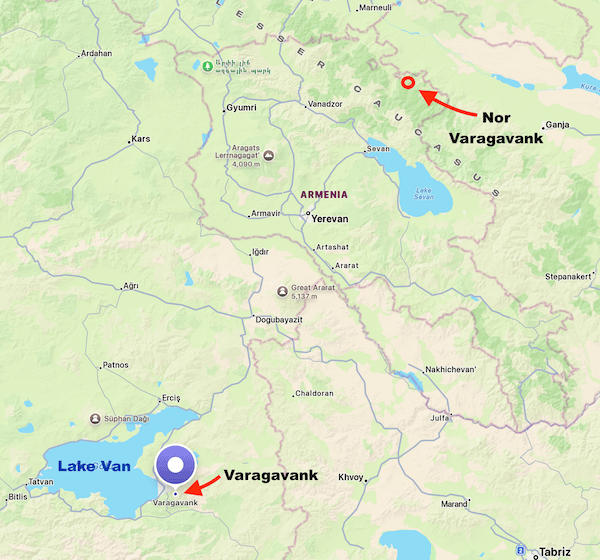
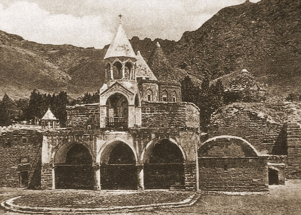
⬇️ And this is what it looks like now 🥺 ⬇️ devastated during the events of 1915 and further destruction
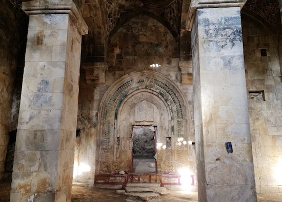
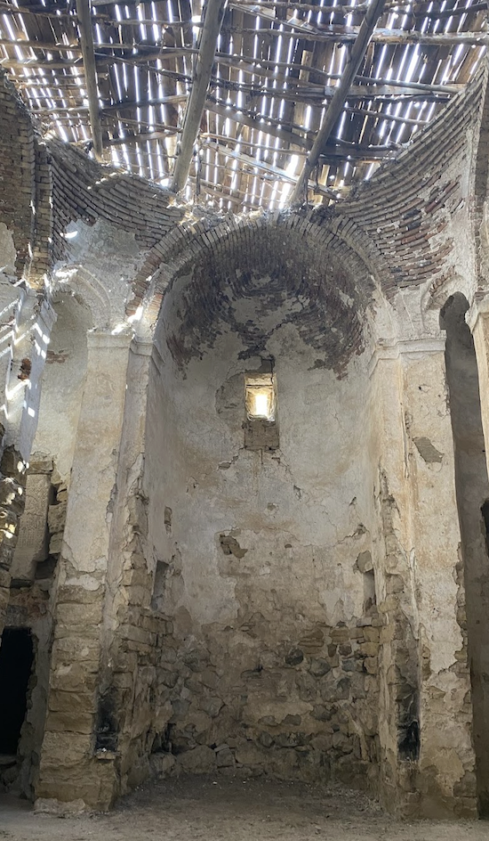
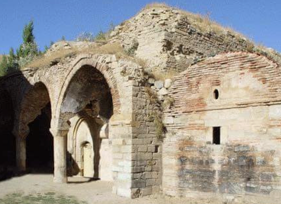
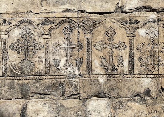
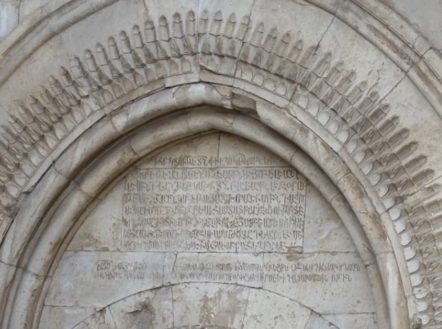
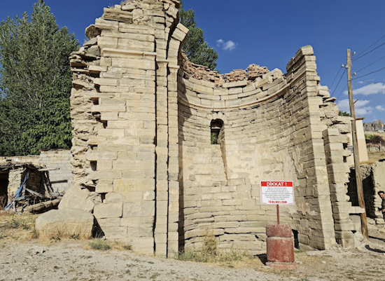
Nothing like what it used to be, a huge and important monastery complex, now just rubbles under the footsteps of the villagers
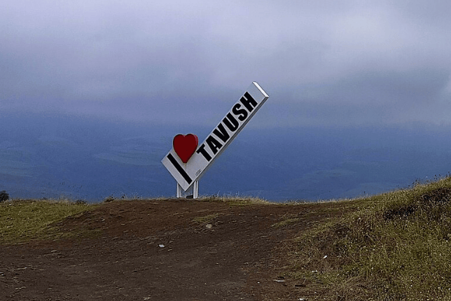
6:05pm now and we stopped at “I love Tavush” sign and the chapel that looks towards Azerbaijian
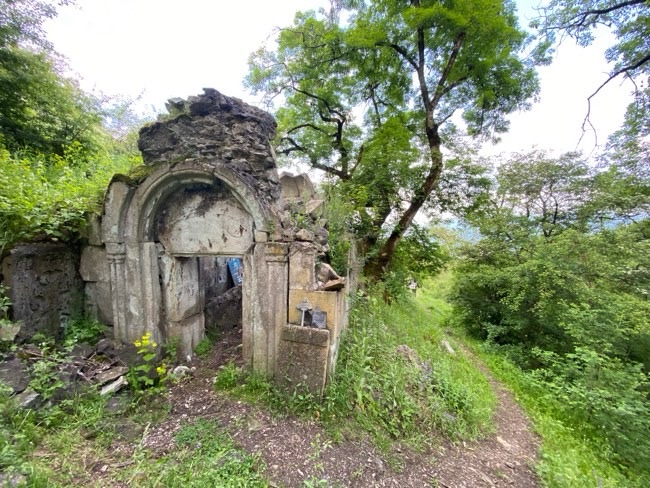
6:30pm – We drove by Vazashen and saw some incredible scenery
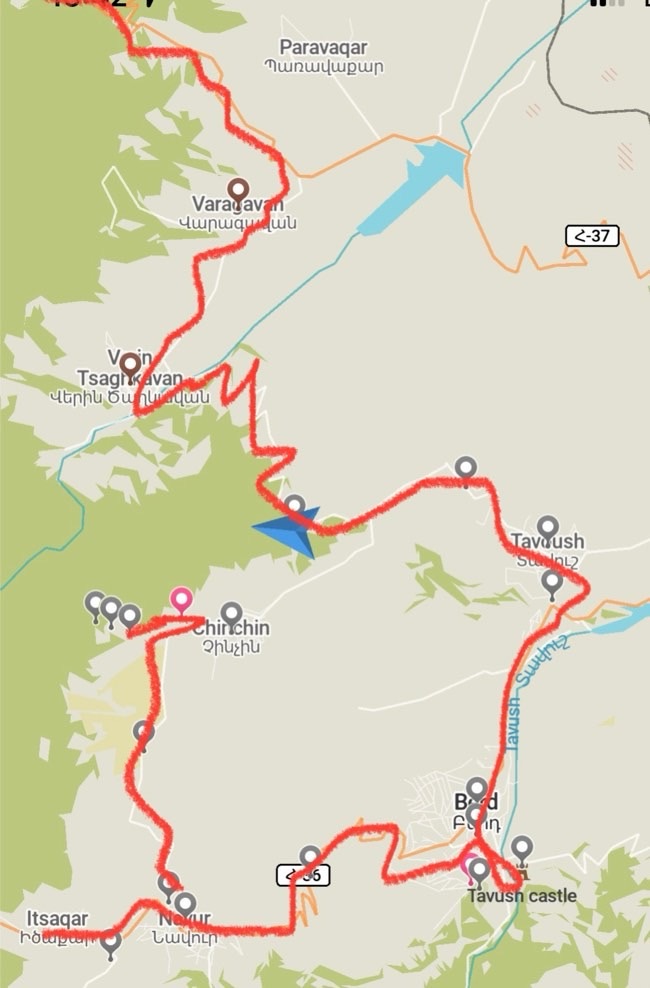
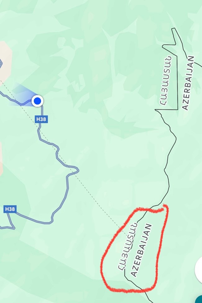
I zoomed in and asked myself… Why is the Azerbiajian border and the Armenian border doubled up here?? ⬇️
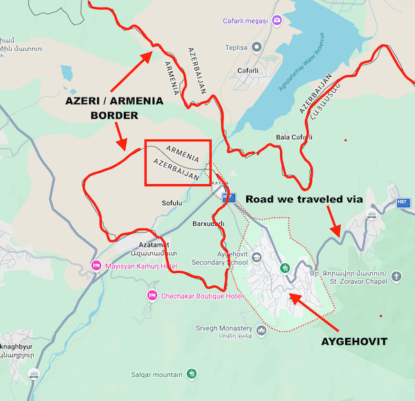
As you drive along the road towards Aygehovit, you can see on the map on the right side is the normal Armenian/Azerbaijian border, but then you see a small patch INSIDE Armenia and noted as Azerbaijian (see above map inner circle marked in red)
So, these are Soviet-era Azerbaijiani enclaves, it belongs to Azeri but completed surrounded by Armenia!
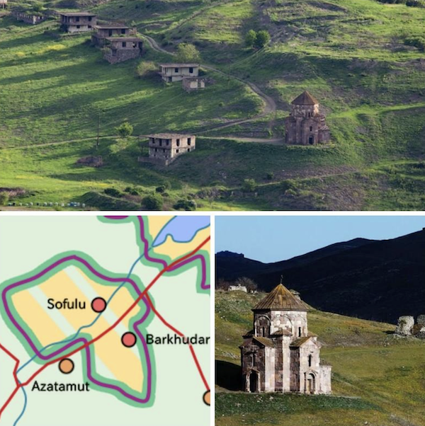
This is historically recognised Azeri enclave – the villages of Sofulu & Barkudarly – you can see it on the map here and in the image above
At the time back in the soviet era, these borders werent as important as they were internal soviet border, but after the USSR collapse in 1991 and the independence of the 2 countries, this became marked out and important to be noted
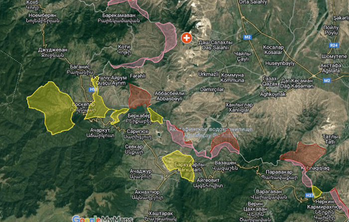
Pashinyan: Enclave/exclave issue will become routine as Armenia-Azerbaijan border delimitation continues
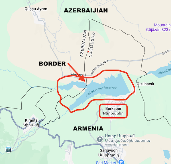
Aygehovit also lies near Berkaber and the Berkaber Reservoir, built in 1980 during the Soviet period
The unusual borders in this part of Tavush are a legacy of Soviet-era administrative boundaries, villages and enclaves
In 2024, Armenia and Azerbaijan began delimiting sections of the Tavush border using Soviet-era maps, helping explain why modern maps of the area show seemingly isolated pieces of Azerbaijani territory surrounded by Armenia
A few interesting situations along the borders continues to wag tongues in both countries… normal people just want to live
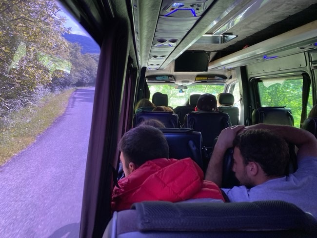
We drove to Ijevan and had a rest stop at 7pm
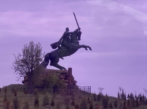
Pass by Dilijian around 8pm – Did you know that Dilijian has a record of 304 historical / cultural monuments?
We kept driving and passed Lake Sevan around 8:20
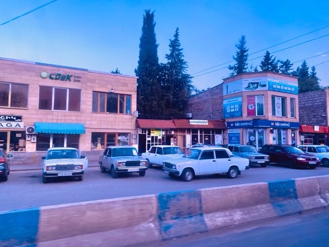
Drove down the M4 back into Yerevan around 9:30pm
What an awesome day! I loved this tour! very full on but you get to see and experience and learn a lot its a good mix of educational historical and cultural – full day of driving so expect that, its well worth it!
18MAY25

