We cylced to Millers Flat and did some “geocaching”to find the keys to a car we had to jump into to go to our accomm
Clutha Gold Cycle Trail
https://goo.gl/maps/UaPwPrSxV4xMetwA6
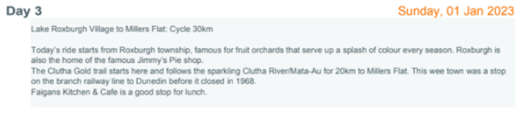
ROXBURGH
Built on the back of an 1862 gold discovery, and now with a permanent population of just over 500, Roxburgh—40 kilometres south of Alexandra on State Highway 8—is the Teviot Valley’s main township. Accessed from the Clutha Gold Trail by bridge, shops include a supermarket, pharmacy, gas station, and a number of excellent cafes, including the famed Jimmy’s Pie shop. The Roxburgh i-SITE Visitor Information Centre on Scotland Street has loads of ideas about where to stay and what to do and can book the Roxburgh Gorge jet boat transfer. The township has a vibrant pip and stone fruit export economy— a visit to one of the many local fruit stalls is an absolute must-do.


Roxburgh to Millers Flat – we then picked up our car from there for the day to get to our accom for that night

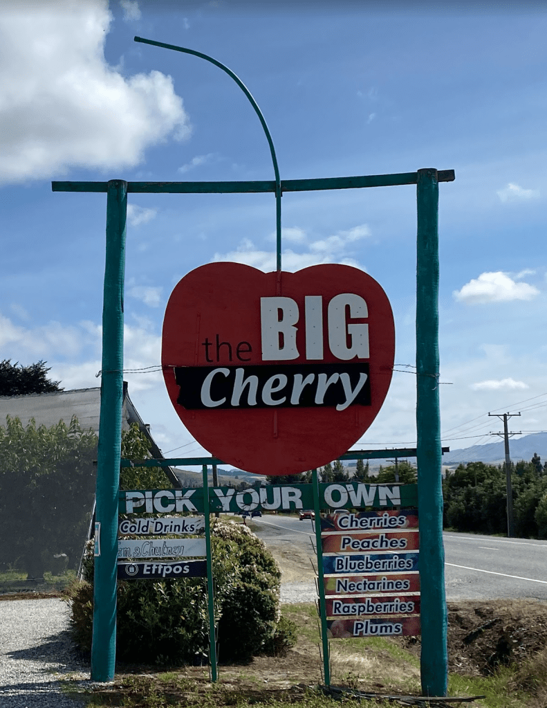

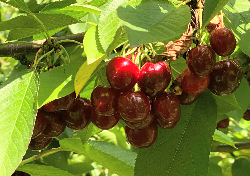
Cherry picking at a local farm
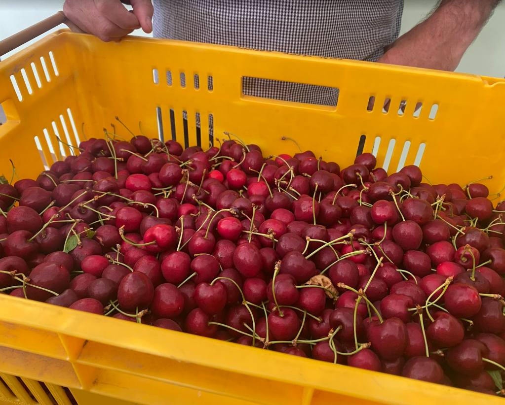
How nice are these freshly picked cherries!!? These cherries were so sweet and so large they were just beautiful
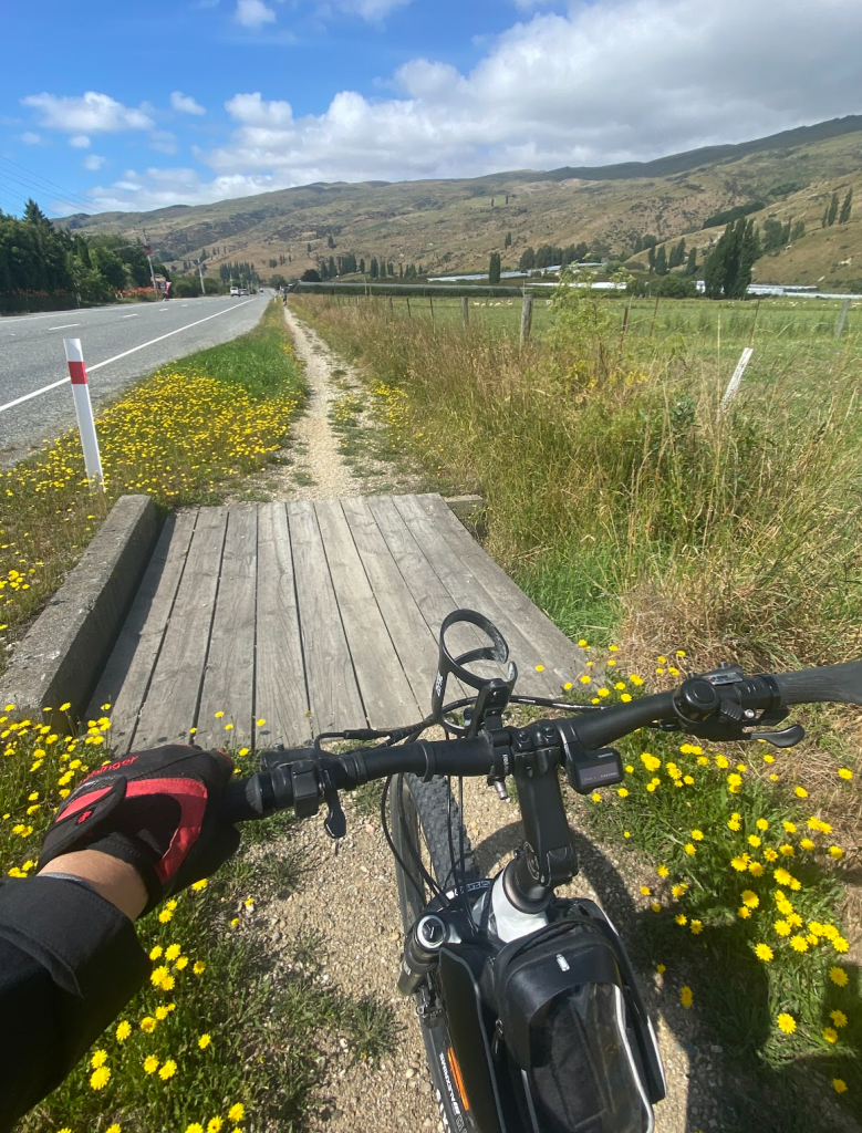
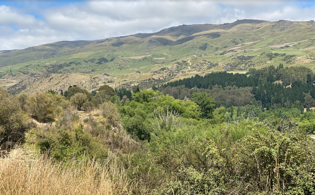
This part of the trail was along the highway (main rd)
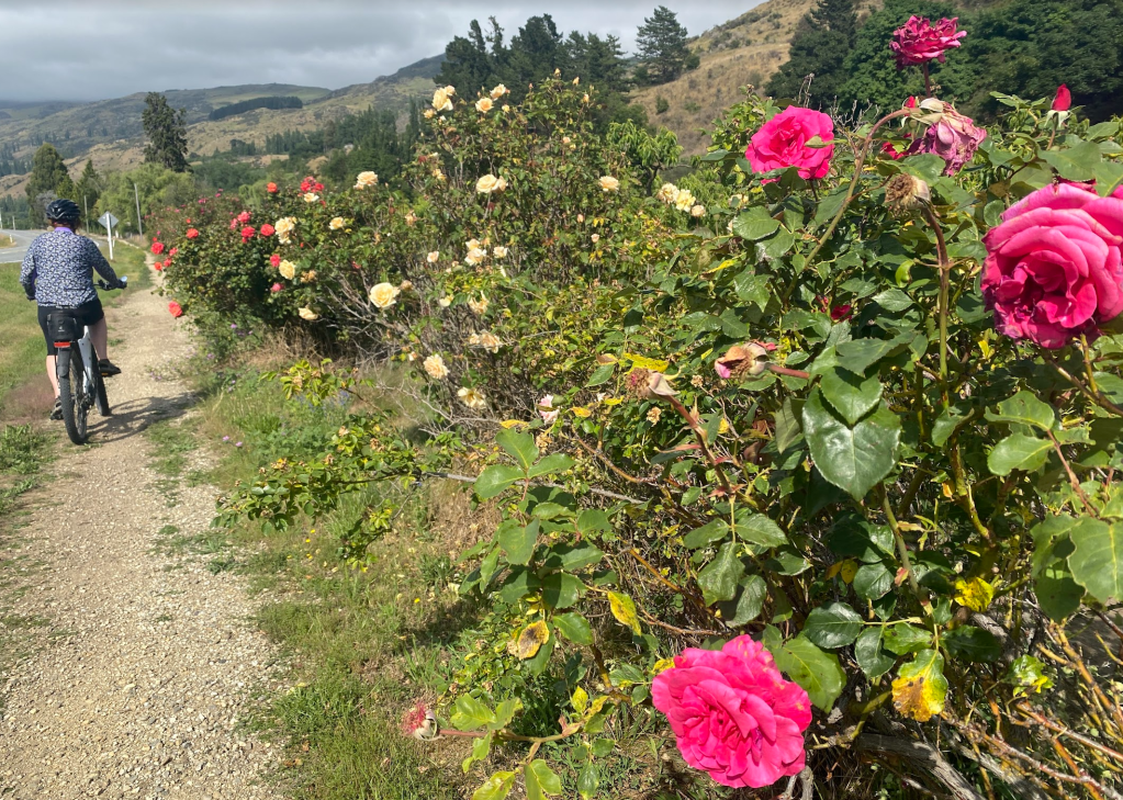
The flowers are so beautiful in NZ!
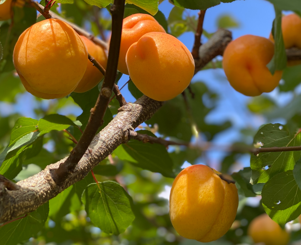
Apricots!

Some more cute churches

The cows look too relaxed in NZ
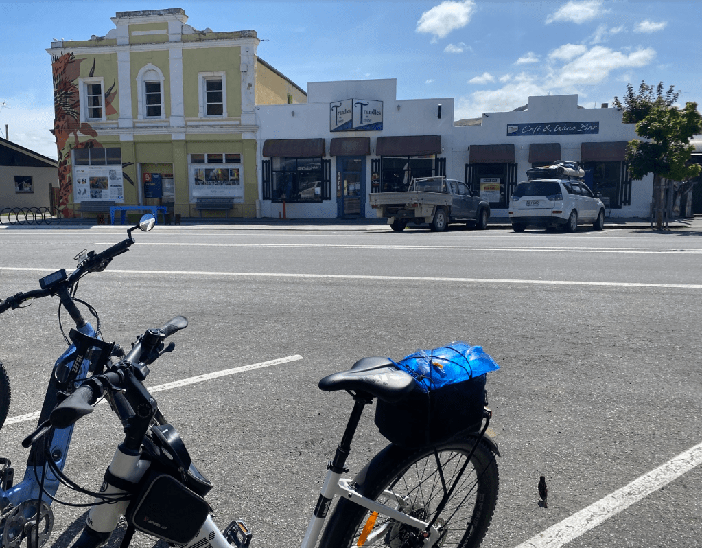
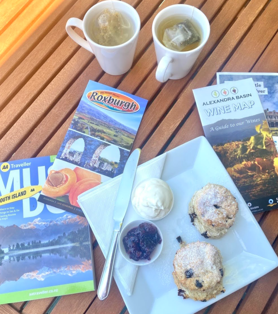
Checking out Roxburgh town, its a 1 street sleepy town but at least there was a cafe open!
CLUTHA RAIL TRAIL
Back on the trail…
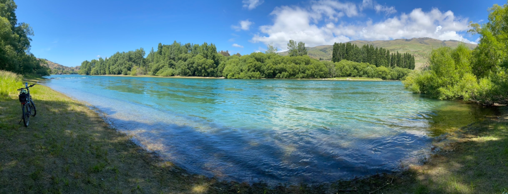
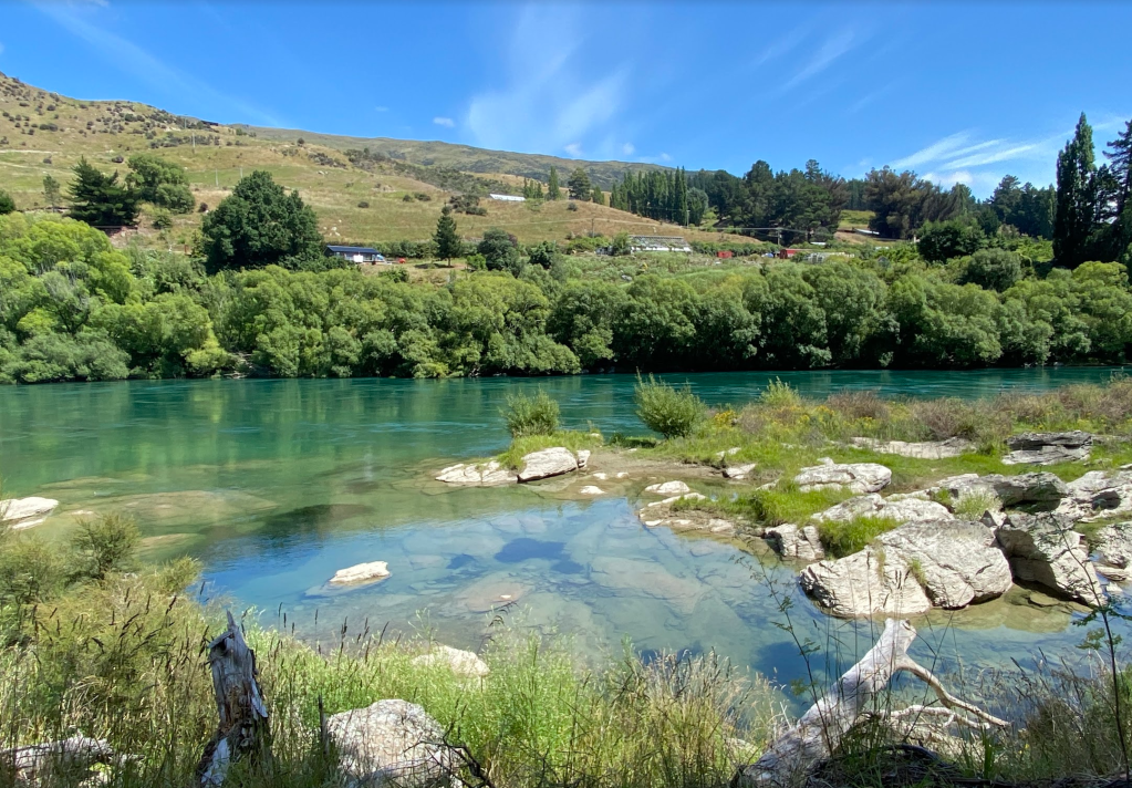
This part of the trail was beautiful turquoise coloured water and gorgeous greens of the hills and mountains

MILLERS FLAT
Millers Flat is literally a 1 road town! 1 cafe, 1 caravan park, 1 school and 1 pub!
Millers Flat is a small town in inland Otago, in the South Island of New Zealand. It is located on the Clutha River, 17 kilometres south of Roxburgh. Fruit growing is the main industry in the area. Most of the town lies on the north bank of the Clutha; the main road, State Highway 8, passes close by on the river’s other bank. The Roxburgh Branch railway used to pass through the town; it was opened to Millers Flat in 1925 and was the terminus for approximately two and a half years, until the section to Roxburgh was opened. The line was closed in 1968, though the town’s station platform and some of the railway formation still exist.
Millers Flat was originally called Ovens Hill; its current name is in honour of an early European settler, Walter Miller, who farmed in the area from about 1849.
Millers Flat Bridge was designed by Robert Hay (1847–1928) and construction started in 1897. It was opened in 1899

We picked up the car from the “X” and drove the car to Melrose Cottages around the other side
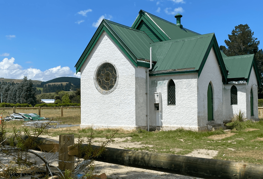
A few cute churches along the way
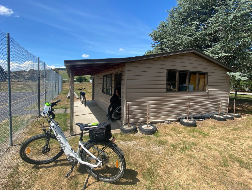
We had to do some hunting for some keys and followed some instructions to lock our bikes in a shed in Millers Flat
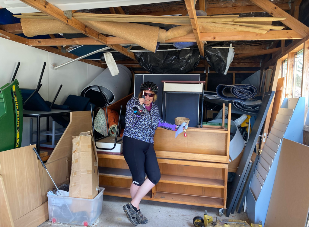
We found the shed behind the school and the key to the car was inside the shed! we locked our bikes inside and got into the car to find our accommodation

The accomodation was around 5km away around the other side of town

Crossed over the main birdge which was a one way blue looking number – The heritage-listed Millers Flat Bridge, a four span steel truss bridge which crosses the Clutha River
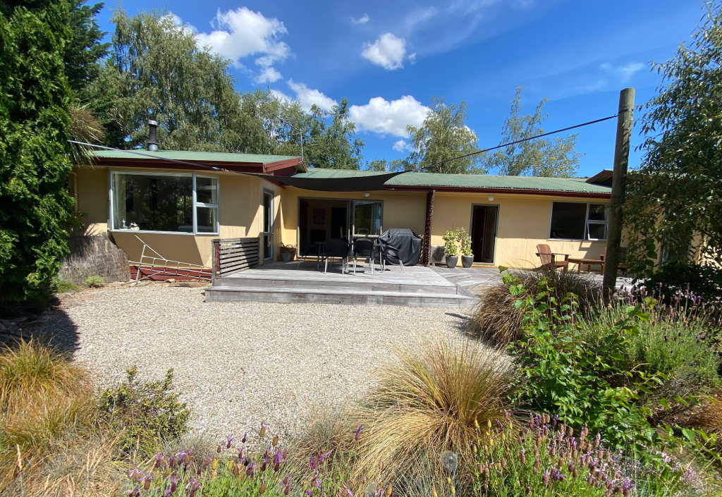
We finally got to our accommodation it was a cute little 3 bedroom cottage which was perfect!
